Mapping/GIS/Surveying.
WRA clients value the powerful economic and strategic benefits of our extensive survey and GIS services.
Our licensed surveyors offer services including boundary, topographic, ALTA/ACSM land title, legal descriptions, ground control for aerial mapping, construction stakeout, and right of way and record plat preparation. With team members averaging nearly 30 years of experience and crews on call 24/7, we are trained for complex surveys affected by railroad, airfield, port, highway and transit operations, and those featuring confined space and restricted entry.
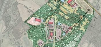
Our GIS Team utilizes the ESRI suite of products and extensions to design, create and maintain databases as well as writing customized programs to provide mapping and analysis in support of a wide variety of planning and engineering projects. GIS services has enhanced the quality of projects related to environmental impact and facility condition assessments, asset management, transportation alternative analysis, traffic demand growth scenario development, and water and wastewater utility mapping and condition assessments.
