City of Alexandria Sewer Modeling. Alexandria, Virginia.
WRA incorporated base flow data into the hydraulic model from building data and unit flow information. The City projected development and GIS land use, and flow data was used to develop future scenarios and to determine capacity constraints. WRA submitted a series of technical memoranda summarizing the work, and provided electronic data for integration into the City’s GIS mapping. The initial model was completed in less than 90 days, successfully meeting City requirements. The City continues to update the GIS-survey data, attribute information, flow monitoring data and planning projections. WRA has regularly updated all of the sewer data and reviewed future flows. Additionally, WRA reviewed the impact of “Green” building on sewer flows and development policy.
Services Performed
Project Highlights
Master Planning and Modeling
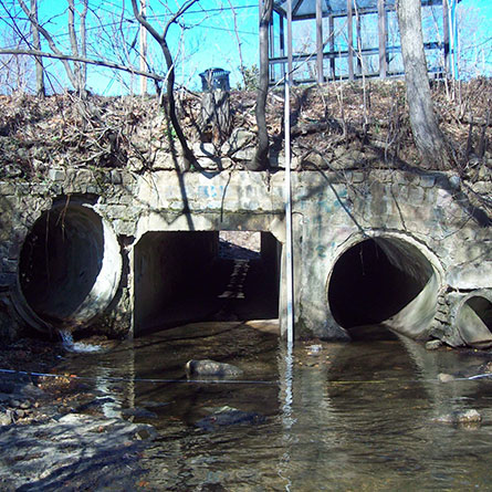
WRA performed modeling of the collector sewer system including approximately 1,280 manholes and 43 miles of pipeline. The existing pipes range from 10 to 36 inches in diameter. The hydraulic modeling was performed to determine the system’s capacity during buildout conditions.