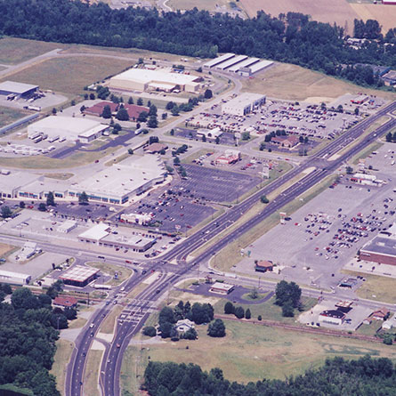
US 113 North/South Study. Sussex County, Delaware.
In response to a mandate from Delaware’s General Assembly, the Delaware Department of Transportation tasked WRA to study the feasibility of creating a north-south limited-access highway in Sussex County from the Kent County line to the Maryland state line. The initial feasibility study recommended upgrading existing US 113 to limited access, bypassing existing towns only where necessary. As an extension of the feasibility study, WRA has performed planning, environmental, engineering and public outreach services for the 38-mile US 113 corridor for more than ten years. These services include travel forecasting, environmental resources inventory and documentation, land use inventory and assessment, and alternatives development and evaluation throughout the corridor. WRA is preparing environmental documentation and will develop right-of-way preservation strategies and prepare final design documents for the selected alternatives in subsequent phases of the study.
Services Performed
Project Highlights
Mapping/GIS/Surveying
GIS was used to verify and update existing wetland boundaries, historical property locations and hazardous material sites. Direct and indirect impacts to wetlands, streams, forest lands and other environmental factors were calculated and analyzed.
Transportation Planning
WRA led transportation planning and design activities which included purpose and need, development of logical termini, and development and evaluation of alternatives. WRA led a public involvement effort of unprecedented scale which included a 200-stakeholder “listening tour,” a video, about 60 working group meetings, more than 30 public workshops, and community group meetings.
Highways/Roadways
WRA prepared conceptual plans for more than 200 miles of highway alternatives, including four-lane divided mainlines and two-lane east-west connectors. Design criteria were established in conjunction with DelDOT to fit on-alignment interchanges into existing towns without compromising capacity and safety.
Traffic
WRA performed travel forecasting for the project, converting the existing Average Annual Daily Traffic (AADT) travel demand model to a peak-season travel demand model. For the capacity/level-of-service analyses of alternatives, WRA created a Cube Voyager based update to DelDOT’s Peninsula model.
WRA performed travel forecasting for the project, converting the existing Average Annual Daily Traffic (AADT) travel demand model to a peak-season travel demand model. For the capacity/level-of-service analyses of alternatives, WRA created a Cube Voyager
WRA led the development of four NEPA documents: two environmental impact statements (EISs) and two environmental assessments (EAs). As lead consultant, WRA directed its own staff and subconsultants in extensive natural and cultural resource studies and resource agency coordination.